


Norway's central Atlantic coast is on high alert as authorities caution about the potential impact of the country's most formidable storm in three decades, urging residents to stay indoors.
Anticipating hurricane-force winds, air traffic companies and ferry lines are preparing for disruptions. Police have issued warnings, forecasting gusts ranging from 126 to 180 kilometers per hour (78 to 112 miles per hour).
As of midday Wednesday, there were reports of ferry lines connecting Norwegian islands suspending services, along with the closure of schools, roads, tunnels, and bridges across the mountainous terrain.
Dubbed "Ingunn" by Norwegian meteorologists, the storm is expected to make landfall in central Norway around midday Wednesday before progressing north on Thursday.
The storm's trajectory is reminiscent of the 1992 New Year’s hurricane, one of the most powerful storms in Norway's history, as reported by the newspaper VG.
A red warning, the highest level, has been issued for the region around the city of Trondheim, where intense winds are anticipated on Wednesday. Another red warning is in effect for the Lofoten islands in the Arctic along the northern coast.
"Red hazard warnings are rare and must be taken with the utmost seriousness," emphasized Nils Karbø of the Norwegian Public Roads Administration.
Norwegian Prime Minister Jonas Gahr Støre is set to return to Oslo on Wednesday, according to the Norwegian news agency NTB.
Although no flights have been canceled as of Wednesday morning, Wideroe, a domestic airline, is monitoring the situation airport by airport, noted spokeswoman Catharina Solli.
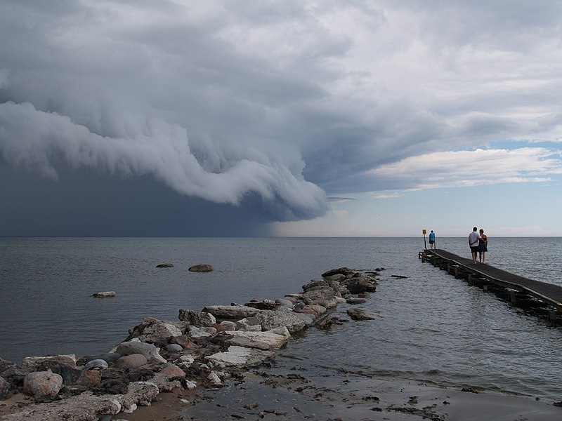
Police have advised people to refrain from going outside if possible, emphasizing the need to be cautious of airborne objects when venturing outdoors. Photo by Arnold Paul, Wikimedia commons.